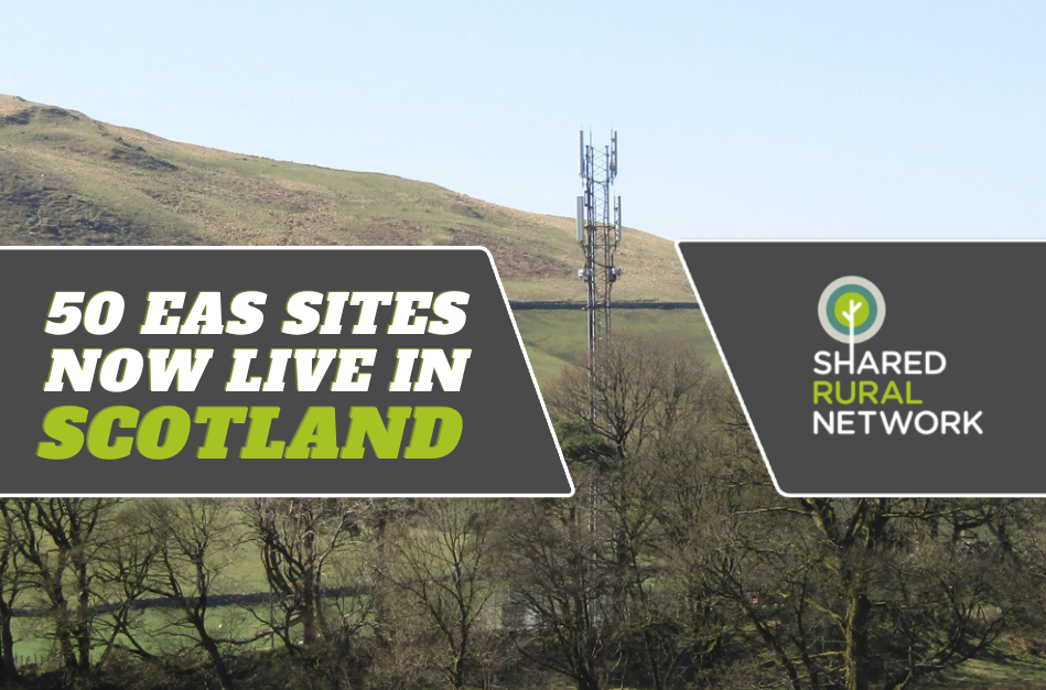
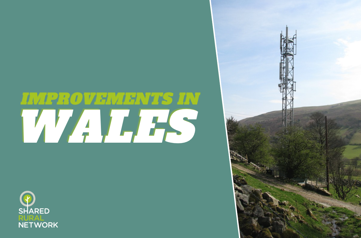
12 October 2022: To deliver new 4G coverage we need to build new infrastructure in some incredibly challenging and difficult to reach places. The programme will see a significant number of new masts built in some of the country’s most rural and remote locations – locations that would not normally be considered as part of an ordinary commercial network roll out.
The process of picking a mast location is dependent on a wide range of factors, which you can read more about in our fact sheet here. A lot of work goes into looking at a location remotely and carrying out desk based research, however, there comes a point where it becomes necessary to head out and visit the location in person. Throughout the first half of 2022, surveyors ventured out to see just what kind of locations are being considered.

Getting to these locations was, in itself, one of the biggest challenges faced by the surveyors. The majority of sites were only accessible with the assistance of special off road vehicles including 4x4s, quad bikes and extreme terrain vehicles designed to go over, and through, some of the most difficult surfaces. On several occasions, vehicles were taken as far as they could go, with the remainder of the journey carried out on foot. The distances to be walked varied, with many locations several kilometres from the nearest access point, with one site being over 30km away.

Not only was distance an issue in accessing these locations, but the physical geography of these areas made it difficult to reach sites. Locations on the top of Munros led to more of a hike than a walk, and there were often situations where ground conditions underfoot made walking and driving difficult. Great care was taken when planning out routes to the sites given the risk of vehicles and people sinking in bogland. In some cases, the weather played a significantly detrimental role with 4X4s coming off roads in heavy snow conditions, or when high water levels on rivers with no bridges made sites inaccessible. As well as difficulties crossing land, there were also locations only accessible by boat or by helicopter.

Although geographical features caused the majority of difficulties in accessing sites, the potential impacts on local wildlife and estate operations are also important considerations. The time of year saw nesting birds making some areas inaccessible, as well as the potential for shooting to be a hazard as part of sporting activities. As a result, many surveys were carried out with the use of drone technology to help get a clearer idea of whether a mast could be built in a certain location.

Although the site visits took longer than average to complete and collectively took over three months to carry out all the surveys, the work undertaken by the surveyors is vital to the success of the programme. Using the data collected during the surveys, engineers are now able to plan out the specific locations of masts needed to deliver the Shared Rural Network. As well as collecting vital site information the exercise was also one of the first steps in building key relationships with landowners and explaining the benefits of the Shared Rural Network.